
Explore the Highlands example
Level: beginner · Time: 15 minutes
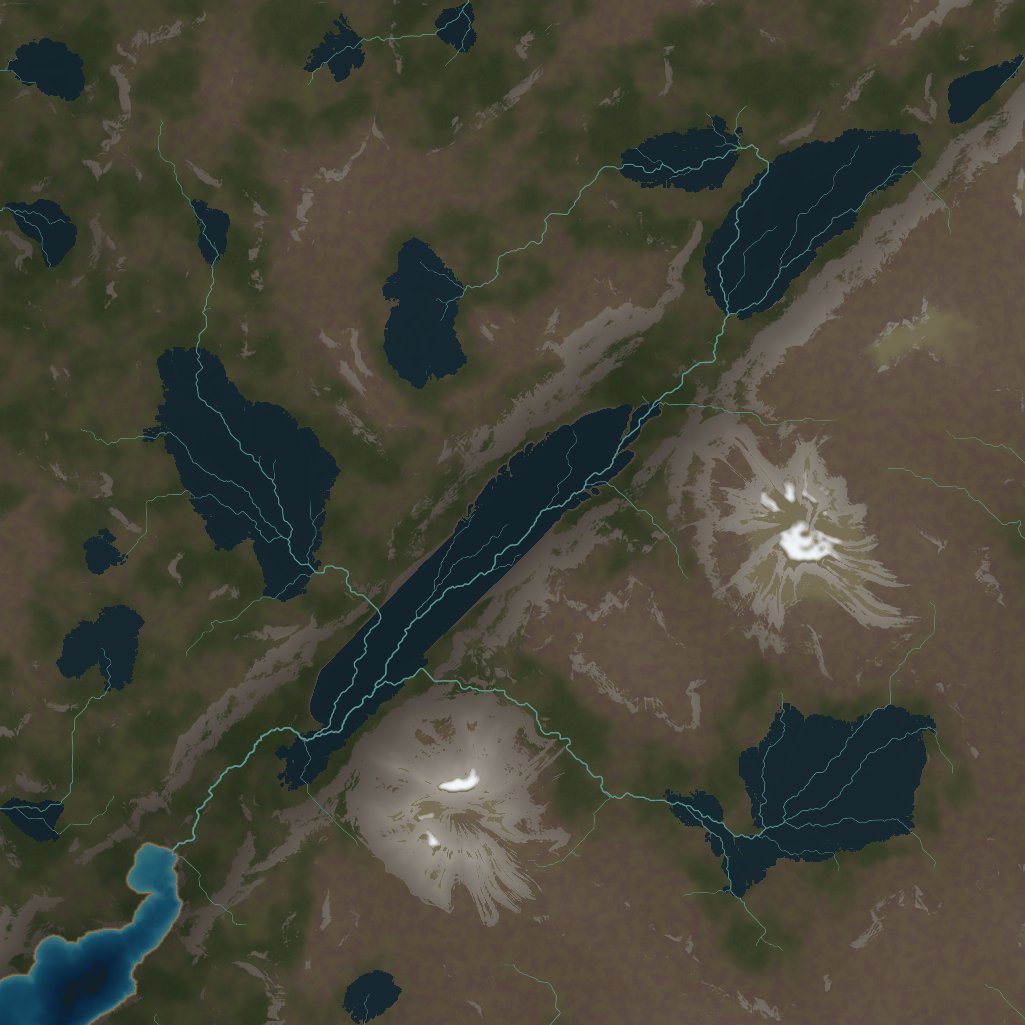
LibreTerrain ships with a complete example: a 12 × 12 km piece of the western Scottish Highlands. It shows most of what LibreTerrain can do in one editable project, so it's the best place to see how nodes combine.
Open it
Choose File → Open Example, or open the Examples panel. Comment boxes in the graph label each stage.
1. Terrain
Start in the Terrain tab. The land is built from:
- rolling moorland that falls to the sea in the west;
- highland ridges inland;
- two rounded, glacier-worn massifs. The highest is scaled to Ben Nevis at 1,345 m;
- the Great Glen, a straight fault valley running south-west to north-east.
Click the nodes in the first comment box one by one and watch the viewport. Try changing a landform's settings and see how the change flows downstream.
2. Erosion
Next comes hydraulic erosion over 400,000 years of wet Highland weather, then thermal erosion for scree. View the node before and after each to see what they add. Hydraulic Erosion also outputs Flow, Wear and Deposition masks. View them to see where the water went.
3. Water
Loch Ness lies in a basin drawn with a Polygons node on the Glen floor. Rivers, hill lochs, a sea loch where the Glen meets the coast, and snow on the highest tops follow. Press Tab for the 2D map and select the Polygons node to see the drawn shapes.
4. Vegetation
Switch to the Vegetation tab: Caledonian pinewood in scattered remnant stands, birch along the wet glens, heather across the moor, and boulders on the scree. Notice how populations are chained through Occupied, and how the rocks use the scree. Toggle Data view to see what shapes each population.
5. Colour
The Colour tab paints brown-purple heather moor, dark pinewoods, grey crags, dark peaty lochs and a blue sea, and also produces a splat map and a normal map.
6. Build it
Open the Build tab. Heights, water, snow, wetness, vegetation densities and points, the colour map, splat weights and the normal map are all marked for a 2,049² build. Press Build and look at the files it writes.
Things to try
- Change the Hydraulic Erosion Duration and compare.
- Move a polygon corner on the 2D map to reshape Loch Ness.
- Swap a Trees node's Species preset.
Next: Draw an island.