
Curvature
Datadata.curvature GPUFinds ridges and peaks (convex) or valleys and hollows (concave), by comparing each point with the average height within Radius (a topographic position index, not surface curvature).
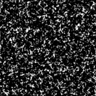
Output with default settings, rendered by LibreTerrain.
Inputs
| Port | Type | |
|---|---|---|
| In | Heightfield |
Outputs
| Port | Type | |
|---|---|---|
| Out | Mask |
Settings
| Setting | Default | Range / options | Description |
|---|---|---|---|
| Show | Convex (ridges) | Convex (ridges), Concave (valleys), Both (grey = flat) | |
| Radius | 150 m | 1 to 100,000 m | Size of the features to find, in metres. |
| Sensitivity | 15 m | 0.01 to 10,000 m | Height above (or below) the surroundings that gives full white, in metres. |
| Invert | Off | Swap black and white. |
See also
Aspect · Distance · Flow · Height Mask · Occlusion · Rock Hardness · Select Range · Slope · Wetness