
Polygons
Primitivesprimitive.polygonsFlat areas drawn as polygons on the 2D map, each at its own height, with a soft slope around them. Block out continents, islands, plateaus and lakes, then add detail with noise and erosion.
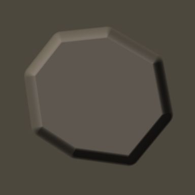
Output with default settings, rendered by LibreTerrain.
Outputs
| Port | Type | |
|---|---|---|
| Out | Heightfield | |
| Mask | Mask |
Settings
| Setting | Default | Range / options | Description |
|---|---|---|---|
| Polygons | (polygons) | Drawn on the 2D map: select the node and click Draw polygon. Each polygon is flat ground at its own height. | |
| Falloff | 500 m | 0 to 100,000 m | Width of the slope outside each polygon down to the ground around it, in metres. 0 = a sheer edge. |
| Overlap | Later polygons on top | Later polygons on top, Highest wins | Where polygons overlap: the one lower in the list covers the others (a lake or plateau drawn inside a continent), or the highest ground is kept. |
| Base | 0 m | -10,000 to 10,000 m | Height of the ground outside every polygon (the sea floor), in metres. |