
Plateau
Terrainterrain.plateauA mesa: a flat top ringed by cliffs, with a rubble slope at their foot.
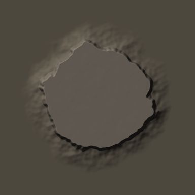
Output with default settings, rendered by LibreTerrain.
Outputs
| Port | Type | |
|---|---|---|
| Out | Heightfield |
Settings
| Setting | Default | Range / options | Description |
|---|---|---|---|
| Radius | 2,200 m | 1 to 1,000,000 m | Radius of the flat top, in metres. |
| Height Mask port | 500 m | 0 to 20,000 m | Height of the feature above its base, in metres. |
| Base | 0 m | -10,000 to 10,000 m | Height of the surrounding ground, in metres. |
| Cliff width | 150 m | 0 to 100,000 m | Horizontal width of the steep cliff band, in metres. |
| Talus width | 700 m | 0 to 100,000 m | Width of the gentler rubble slope at the foot of the cliffs, in metres. |
| Talus height | 0.35 | 0 to 1 | Height where the cliff meets the talus slope, as a fraction of Height. |
| Edge roughness | 600 m | 0 to 100,000 m | How far the cliff edge wanders in and out, in metres. |
| Roughness | 0.3 | 0 to 1 | Amount of irregular, noisy detail. |
| Position X | 0 m | -1,000,000 to 1,000,000 m | East/west offset from the centre of the world, in metres. |
| Position Y | 0 m | -1,000,000 to 1,000,000 m | North/south offset from the centre of the world, in metres. |
| Seed | 0 | 0 to 999,999 | Change for a different variation. |
Mask ports
Settings marked Mask port can be driven by a mask. Click the setting's Mask port button and connect a mask to the new green input: black scales the value to 0, white keeps the value you set.