
Lakes
Simulatesimulate.lakesFills hollows with water up to the level where each would overflow. Height is the lake bed (flattened by sediment), Water surface the lake level (the ground elsewhere), Lakes is white on water and Shore along the waterline.
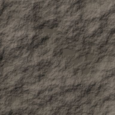
Output with default settings, rendered by LibreTerrain.
Inputs
| Port | Type | |
|---|---|---|
| Terrain | Heightfield |
Outputs
| Port | Type | |
|---|---|---|
| Height | Heightfield | |
| Water surface | Heightfield | |
| Lakes | Mask | |
| Shore | Mask |
Settings
| Setting | Default | Range / options | Description |
|---|---|---|---|
| Min depth | 1 m | 0 to 1,000 m | Hollows shallower than this at their deepest point stay dry. |
| Min area | 5,000 m² | 0 to 1,000,000,000 m² | Lakes smaller than this stay dry, so puddles don't clutter the map. |
| Sediment infill | 0.3 | 0 to 1 | Share of each lake's depth filled with sediment, giving it a flat floor. 0 keeps the original bed; 1 fills the lake to its surface. |
| Shore width | 30 m | 0 to 10,000 m | Width of the Shore mask on each side of the waterline, in metres. |
| Detail size | 8 m | 1 to 1,000 m | Cell size water is routed at, in metres: about the width of the smallest streams. Smaller is slower. The result is the same at any preview or build resolution. |
See also
Hydraulic Erosion · Rivers · Sea · Snow · Thermal Erosion