
Occlusion
Datadata.occlusionAn approximation of how open the sky is: white on ridges and open ground, dark in hollows, creases and valley floors, by how far each point lies below its surroundings (not a traced sky view). Radius sets the size of the features that shade; small radii give a cavity map.
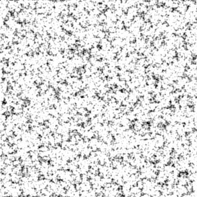
Output with default settings, rendered by LibreTerrain.
Inputs
| Port | Type | |
|---|---|---|
| Terrain | Heightfield |
Outputs
| Port | Type | |
|---|---|---|
| Occlusion | Mask |
Settings
| Setting | Default | Range / options | Description |
|---|---|---|---|
| Radius | 100 m | 1 to 100,000 m | Size of the hollows that shade, in metres. |
| Strength | 1 | 0 to 10 | How dark hollows get. |
| Invert | Off | White in hollows instead. |
See also
Aspect · Curvature · Distance · Flow · Height Mask · Rock Hardness · Select Range · Slope · Wetness